 |
 |
| View to the left approaching town, train line to Malmesbury in the distance at the blue gums |
 |
| almost there |
 |
| the name Swartland goes back to the time of jan van reibeek ,a very large area of the W cape was covered by "renoster bos" which became less as the farms became more,this bush can still be seen on hills and rocky areas it is dark green and from a distance looks black,Moorreesburg is almost in the center of the swartland |

 |
| this is Koring st our home is on the left where the green shade house is, taken from the top of the railway bridge |
 |
| top of railway bridge looking back to N7 [ East] |
 |
| top of bridge looking into town, trees at other end of road,Lang Straat, is the other end of town |
 |
| top of bridge looking toward the station |
 |
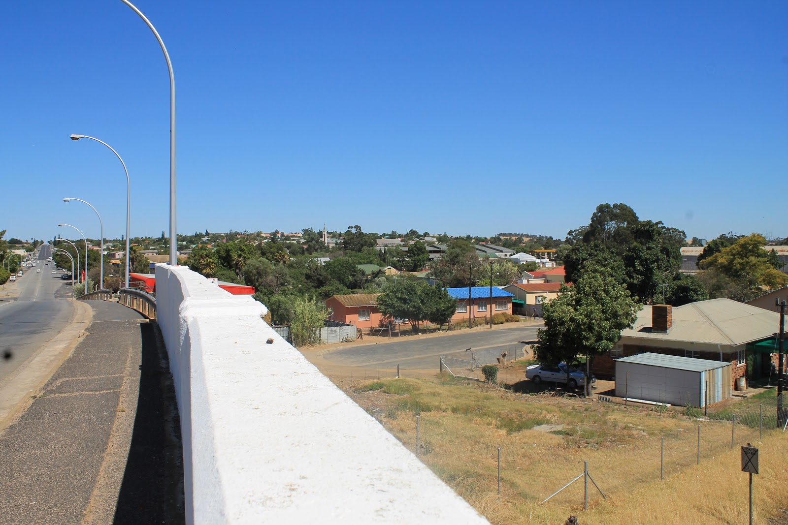
| top of bridge looking toward the"CBD" and the other side of town |
 |
| mind the traffic |
 |
| from the bridge,line to Malmesbury |
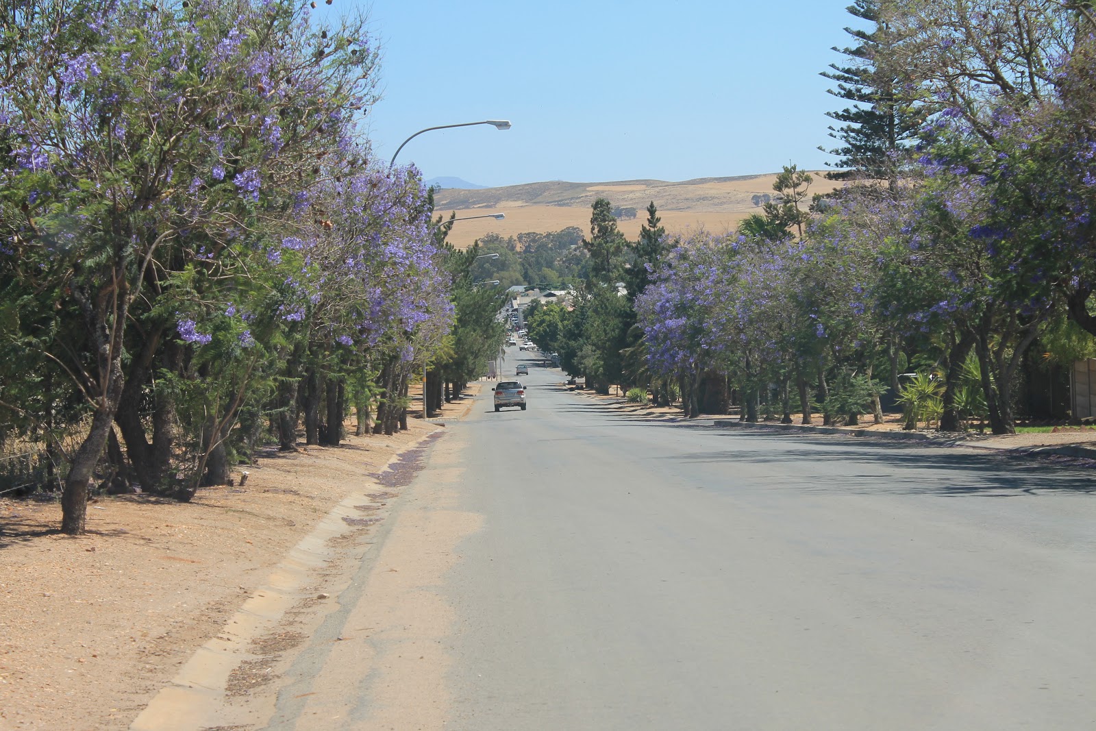 |
| top end of Main st |
 |
| looking North in direction of our home |
 |
| in the center of the pic the green shade house and silver roof ,our home |
 |
| looking North,the N7 going to Piketberg |
 |
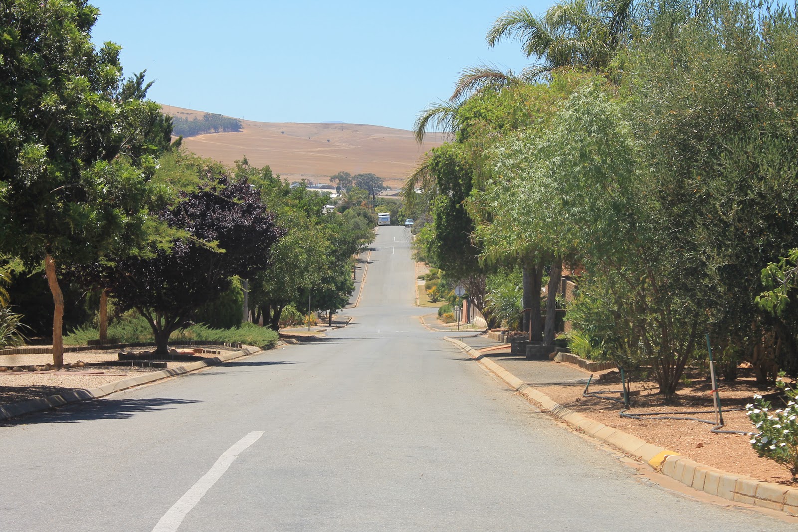
| in the suburbs |
 |
| Neul heuwel is the name of this little hill over looking the town,a land mark which can be seen from Riebeek Kasteel,Darling,Hopefield and Malmesbury |
 |
| farmlands, it is like this all the way round the town, with tar road this side of the fence and wheat or olive trees on the other side |
 |
| the other end of Lang st |
 |
| looking back toward the train bridge on the other side of town |
 |
| a better one of Lang st and bridge |

 |
| the CBD |
 |
| the Lip Lekker Take Aways for the best burgers in town |
 |
| directions in the CBD |
 |
| CBD |
 |
| the church |
 |
| the central bio scope now a china mans shop |
 |
| a busy main street |
 |
| CBD |
 |
| CBD |
 |
| the Standard Bank in the CBD |
 |
| the Main st which runs right through the CBD |
 |
| town hall |
 |
| railway station building,no longer in use |

 |
| station yard |
 |
| station building from the yard |
 |
| out this way to Piketberg |
 |
| back this way to Malmesbury |

 |
| sad,is it not(i am referring to the state of the buildings) |

 |
| the emergency services in the foreground |

 |
| a Friends hobby |

 |
| at the museum |
 |
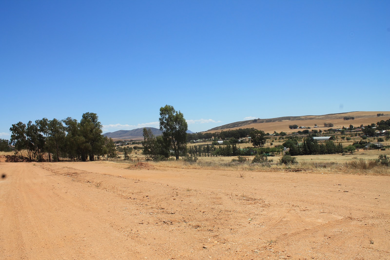
| town on the left ,olive farm on the right |
 |
| on the edge of town,wheat field after harvest,town water supply at top of hill |
 |
| old mill near station,was the home of tiger oats |

 |
| Moorreesburg taken from the N7 |

 |
| Libary |

 |
| Koringberg center,Piketberg to the right (North) |
 |
| back in the suburbs |
 |
| Hooikraal, small holdings one could refer to it as a suburb,this is where Moorreesburg started as the farm hooikraal in the late 1600 and where the first wheat was grown in the cape |
 |
| hooikraal |
 |
| hooikraal |
 |
| in Lang st |
 |
| parking area at library/museum |
 |
| wheat museum,one of 3 in the world,really is worth seeing |

 |
| neul heuwel as seen from the train bridge |
 |
| biggest silos in the cape,belong to M.K.B.(Moorreesburg koring boere ) |
 |
| about the best we can do with regards to wild life |


 |
| Moorreesburg as seen from the N7,neul heuwel on the left,this looking South in the direction of Cape Town |


No comments:
Post a Comment